 - Körmend - Zalalövő")
(S-03) - Körmend - Zalalövő
Körmend, vasútállomás - Körmend, városközpont - Nádasd-hegyalja (4 km) - Cseresnyés-hegy - Nádasd, Rotunda (7.5 km) - Vaspör (15 km) - Pusztacsatár (18 km) - Velence (20 km) - Velence-Zél - Bakos-hegy - Zalaháshágy - Haraszti-hegy - Zalalövő, városközpont (kb. 32 km).
Elevation (total): about 200 m.
Marking: yellow bar
Attention! After Körmend, the route follows the embankment of the main road 86 for about 500 m. This stretch of road is dangerous on weekdays due to heavy lorry traffic. There is no detour, because there is only a bridge at Csörnöc. When putting together a hiking programme, it is worth considering skipping the Körmend - Nádasd section (the "remaining" distance between Nádasd and Zalalövő: approx. 25 km).
Stamping is possible in the rain house next to the information sign with maps in Pusztacsatar.
The route appears on the 2008 edition of the Guard tourist map.
Accommodation along the route:
Körmend, Nádasd, Velence, Zalalövő
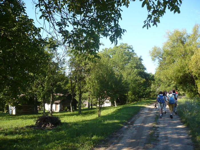
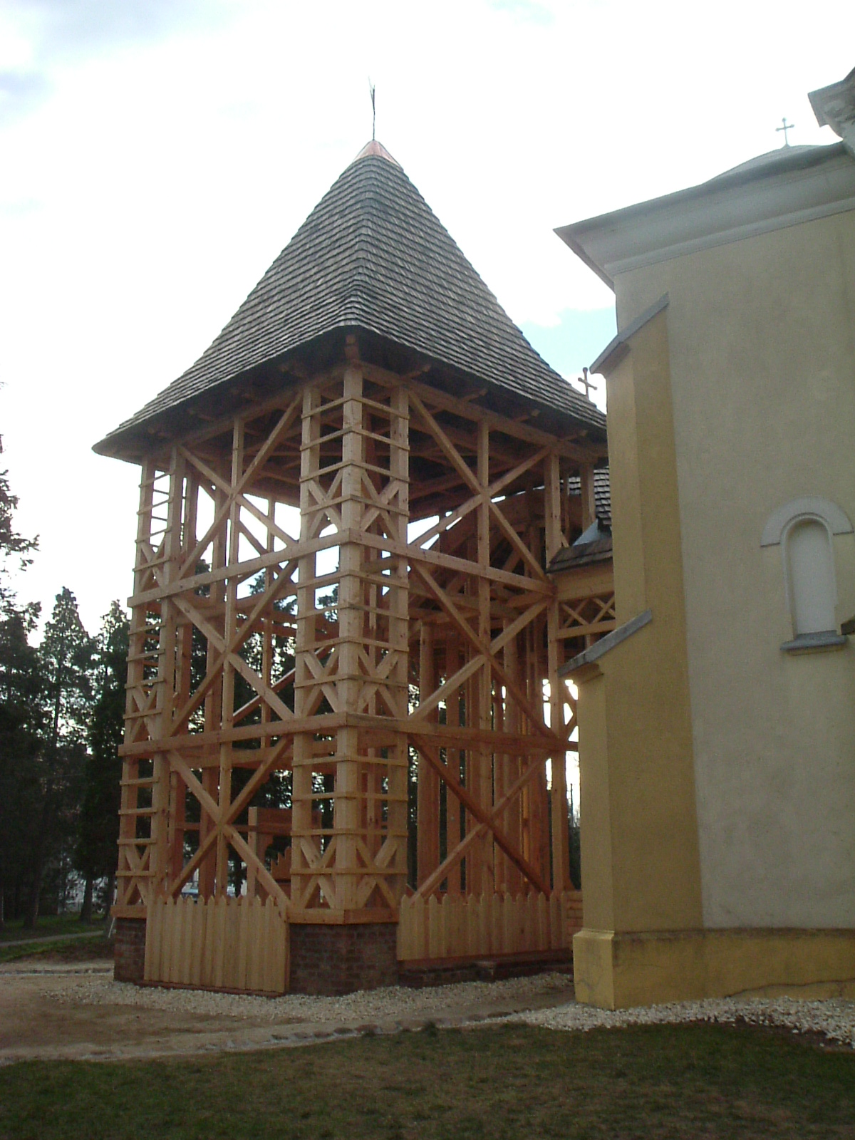
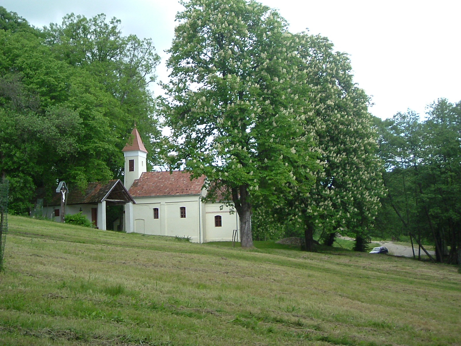
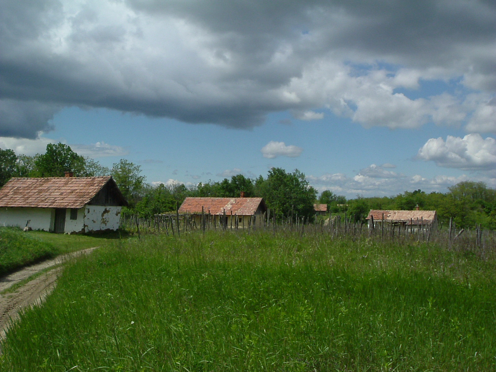
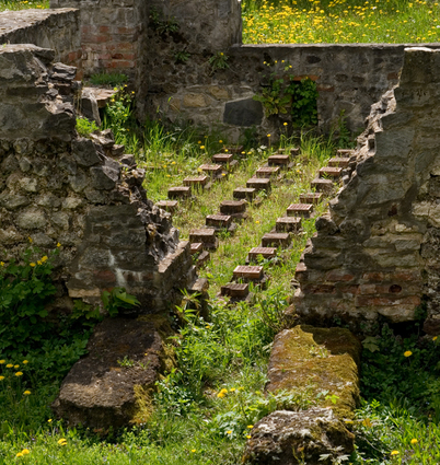
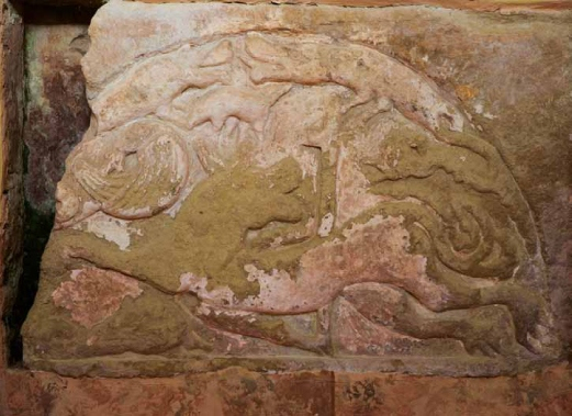
Pictures from the tour
- Duration: 7 hour(s)
- Length: 30,5 km
- Difficulty: Medium
| Area: | Southern route |
| Level difference: | 200 m |
| Típus: | Walking routes |
Szolgáltatás Stop point
Stop point - Zalalövő
ZalalövőZalalövő was already an inhabited place and a transport hub in Roman times. The settlement was granted the status of a town by...
More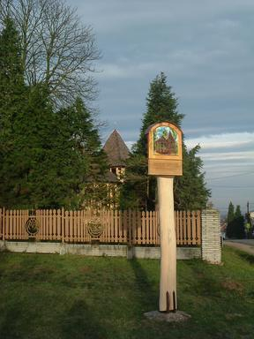
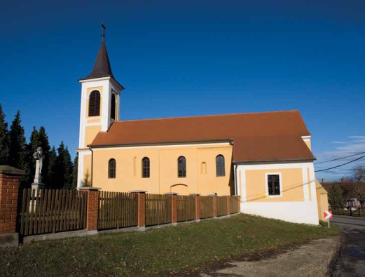
Stop point - Nádasd
NádasdAs a child, Saint Martin travelled with his parents from Savaria to Ticinium (Pavia) in Italy along the Amber Road, which can...
More
Stop point - Körmend
Körmend
(Written by Gyula Siklós, the archaeologist)
In his will of 1434-35, the merchant István Körmendi mentions three churches in...
Stop point -Pusztacsatár
PusztacsatárThe name Pusztacsatár refers to the Árpád era village of Csatár and the occupation of its inhabitants (csatár = shield maker)....
More