
 Zalalövő -Csöde - Szatta")
(S-04 ) Zalalövő -Csöde - Szatta
Approximate distances from Zalalövő, city centre - Pacsa hill (2.5 km) - (Upper)-Csöde (6 km) - Szatta (12.5 km)
Indication: yellow bar
The route runs between Zalalövő and Felsőcsöde along the route of the South Transdanubian Blue Trail.
Between Zalalövő and Felsőcsöde the route follows the route of the South Transdanubian Blue Trail.
The total difference in level is about 250 metres.
The entire route is depicted in the 2008 edition of the tourist map of the Őrség published by Cartographia.
The site of St Martin's church and monastery is located on the outskirts of Csöde. There is no sign from the yellow road to the site. It can be reached by an unmarked road or by the yellow ruin sign from Alsócsöde (the railway station in Upper Jánosfa).
Recommended maps and guides:
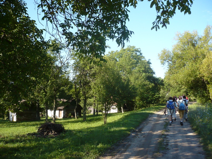
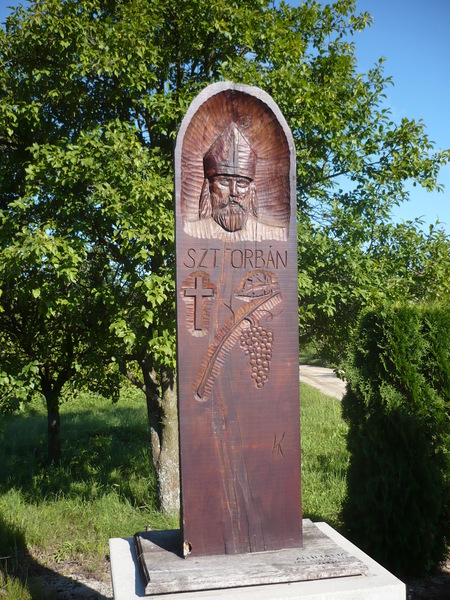
Pictures from the tour
- Duration: 3 hour(s)
- Length: 12 km
- Difficulty: Easy
| Area: | Southern route |
| Level difference: | 250 m |
| Típus: | Walking routes |
Szolgáltatás Stop point
Megállópont - Csöde
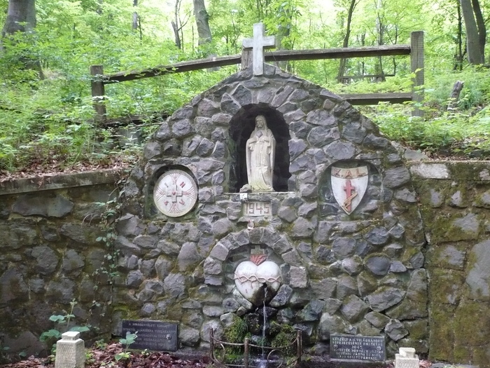
CsödeCsöde is a stop on the Via Sancti Martini from Szombathely to Tours in France. The pilgrimage route commemorates the great saint...
More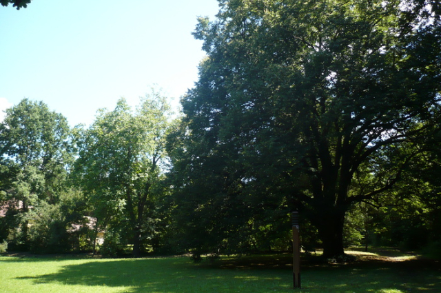
Stop point - Szatta
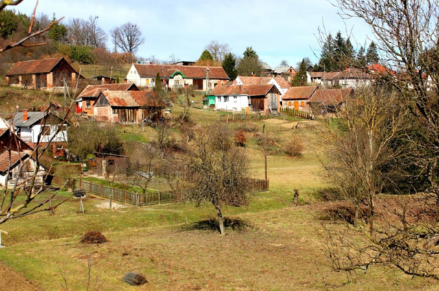
SzattaSzatta is one of the smallest settlements in the Guard. The village was depopulated during the Turkish times. The old village...
More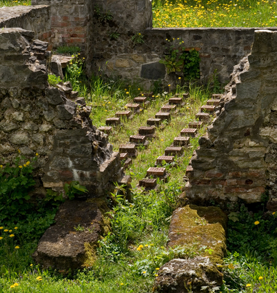
Stop point - Zalalövő
ZalalövőZalalövő was already an inhabited place and a transport hub in Roman times. The settlement was granted the status of a town by...
More